THE MARITIME ATLASCape d'Or

A TIDE RIP AND ITS LIGHT · 1836 TO 2026

The Dory Rips of Cape d'Or

One tide at the cape on one map, as the pilot books describe the rip,
with the satellite frame of 15 August 2026.
Then the whistle, the light and the keepers' houses above it.

One tide on the map

15 AUGUST 2026 · ADT08:44
0.7 m(2.4 ft) · low water
Cape d'Or, Minas Channelbefore the tide turns
one tide in 30 seconds

The water level is the Canadian Hydrographic Service's prediction for 15 August 2026, in metres above chart datum. The arrows are the pilot books' words drawn on the map, not measured currents. They turn at high and low water and run strongest halfway between, because no source gives the times the streams turn at the cape. The light flashes on its real pattern, in real time.

01 · ONE TIDE · 15 AUGUST 2026CAPE D'OR, MINAS CHANNEL

Charting the rips…

15 August 2026, low water to low water.
Hover the light, the rip or the satellite frame. Arrows from the pilot books, not measured.
The stream, flood or ebb An eddy The rip A front, seen 15 Aug 2026 The light Sea floor, shallow to 100 m Dries at low water Arrows drawn from the pilot books, schematic. Sea floor: CHS NONNA. Not for navigation.
View Layer

The point: the rip, the eddy and the sea floor south of the light (CHS NONNA-10).

↑ BACK TO TOP

02WHAT THE PILOTS WROTE

A mile of broken water,
in the pilot book of 1885.

In 1885 the British Admiralty printed the third edition of its sailing directions for the Bay of Fundy, a pilot book for ships' masters. Page 190 explains the rip at Cape d'Or. With the tide coming in, the stream from Cape Chignecto "sets nearly straight" at the cape. An eddy turns back toward the cape along its eastern shore. Where the two meet, the flood "makes a long rip off cape D'Or to the distance of a mile".

Round the cape the stream runs 5 to 6 knots (9 to 11 km/h). The book's advice: with the tide coming in, keep well off, beyond the rip; with the ebb and a fair wind, a ship may round the cape close in. On the ebb, it adds, an eddy forms to the west of the cape.

The United States pilot of 1918 repeats the text, and Canada's sailing directions of 2021 still describe a heavy tide rip close south of the cape, a mile long, with the same speeds. They are one account, rewritten, not three measurements.

None of them calls it the Dory Rips. That name is older. In 1836 Abraham Gesner, finishing a book on the province's rocks at Parrsboro, about 37 km (23 miles) up the shore, called the whirlpools "well known". Where the word Dory comes from, no source read for this page says, and the name is not in the province's gazetteer.

Admiralty (1885), pp. 190 and 191; US Hydrographic Office (1918), p. 171; CHS Sailing Directions ATL 106 (2021), paras 117, 134 and 135; Gesner (1836), p. 233; NS GeoNAMES. Quotations are the pilot's and Gesner's own phrases.
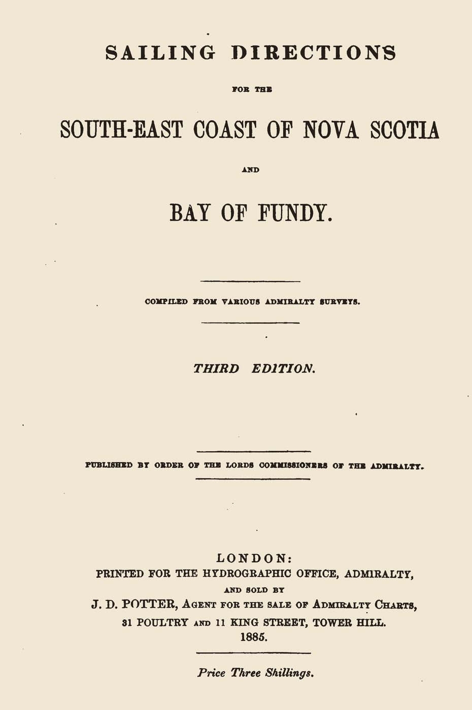
The title page of an old book: Sailing Directions for the South-East Coast of Nova Scotia and Bay of Fundy, third edition, London, 1885.
The title page of the Admiralty's Sailing Directions for the South-East Coast of Nova Scotia and Bay of Fundy, third edition (London, 1885). Internet Archive, Google scan; public domain.

↑ BACK TO TOP

03THE SEA FLOOR

From 17 metres to 74,
in the first kilometre.

South of the light the sea floor drops fast. In the Canadian Hydrographic Service's survey grid, the water is about 17 m (57 ft) deep 250 m out from the light, 37 m (120 ft) at 500 m and 74 m (243 ft) at 1 km. Between 2 and 2.8 km out lies a trough 77 to 84 m (253 to 276 ft) deep. Beyond 3.5 km the floor is nearly flat, at 36 to 48 m.

In 1836 Gesner explained the rips with a cape of sunken rock pillars running south under the sea. Meeting "the submarine precipice", he wrote, the tide "is thrown above the common level". In a heavy gale, he said, those pillars "throw up frightful breakers".

The modern survey shows a steep scarp and a trough close to the cape, with slopes up to about 32 degrees within 3 km of the light. It does not show a ridge running far across the channel. On the map above, the scarp and the trough lie under the rip.

CHS NONNA-10 (about 13 m cells) and NONNA-100, depths below chart datum, the level of the lowest tides; the profile and the slope are worked out by this page's scripts. Gesner (1836), p. 233. Not for navigation.

Depth due south of Cape d'Or light From the shore the sea floor drops to about 17 m at 250 m out, 37 m at 500 m and 74 m at 1 km; a trough reaches 84 m between 2 and 2.8 km; beyond 3.5 km the floor lies at 36 to 48 m. 20 m 40 m 60 m 80 m 100 m 0 m 0 km 2 km 4 km 6 km 8 km 10 km THE RIP, ABOUT A MILE (1.6 KM) SOUTH THE LIGHT 17 m 74 m at 1 km trough, 84 m SOUTH FROM THE LIGHT
Depth due south of the light, every 50 m to 10 km (6.2 miles), from CHS NONNA-10, below chart datum. The depths are stretched about 45 times against the distance. Not for navigation.

↑ BACK TO TOP

04TWELVE METRES OF TIDE

Nearly 12 metres,
twice a day.

The Canadian Hydrographic Service predicts the tides at Cape d'Or, its station 00240. In 2026 the biggest range there is 11.65 m (38.2 ft), early on 19 April; the average is 8.69 m (28.5 ft). On 15 August, the day on the map, the water rose 10.89 m (35.7 ft) in six hours.

That water runs past the cape on its way into the Minas Basin and back. The pilot books give the streams round the cape as 5 to 6 knots (9 to 11 km/h), the same figures since 1885. No modern current measurement at the cape was found. Further up, in Minas Passage, instruments on the sea floor measured surface currents of up to 5.2 m/s (10 knots) on spring tides in 2008 and 2009.

CHS tide predictions for 2026, station 00240, worked out for this page; Admiralty (1885); CHS ATL 106 (2021), para 135; Oceans Ltd. for FORCE (2009), Table 2. The station is not operating: these are predictions, not measurements.

THE TIDE AT CAPE D'OR, 2026 · CHS PREDICTIONS

11.65 m (38.2 ft)The biggest range of the year, 01:33 to 07:52 on 19 April
12.13 m (39.8 ft)The highest high water, 01:33 on 19 April
0.48 m (1.6 ft)The lowest low water, 07:04 on 18 April
8.69 m (28.5 ft)The average range, over 1,410 rises and falls
5.46 m (17.9 ft)The smallest range
252Ranges over 10 m (33 ft); 31 over 11 m
10.89 m (35.7 ft)15 August, 08:44 to 14:46, the tide on the map

↑ BACK TO TOP

05A WHISTLE BEFORE A LIGHT

Sound first,
light 47 years later.

The first aid to ships at Cape d'Or was a sound. Notices of January 1875 announced a steam fog whistle on the cape. In fog or snow it gave a blast of 6 seconds, then 24 seconds quiet, then 6 seconds again: twice a minute. A later history says it had already run, unannounced, from December 1874, while its water supply was not yet steady.

A steam whistle needs coal and water. Coal came up a tramway from a rock on the beach, 75 ft (23 m) up the bank; water came from rain and runoff, kept in cisterns. A storm in 1877 swept away the tramway and the station boat, and a road was built to Horseshoe Cove. The station cost about $8,440. These details rest on one history, which quotes the government's annual reports.

The cape had no light until 1922, and then a second-hand one: the old tower from Eatonville, about 14 km (9 miles) to the north-west, moved to Cape d'Or as a fifth-order light. In 1924–25 the steam whistle gave way to a diaphone, a horn driven by compressed air. In 2017 the Coast Guard gave notice that it proposed to discontinue the fog horn. The 2026 list shows a light and no fog signal.

The Nautical Magazine (1875), notice 69; the London Gazette (23 January 1875); Lighthousefriends, quoting the Department of Marine's reports; the Department of Marine and Fisheries' reports for 1922–23 and 1924–25; Lighthouse Digest; Notices to Mariners (June 2017); the Coast Guard's List of Lights (2026).

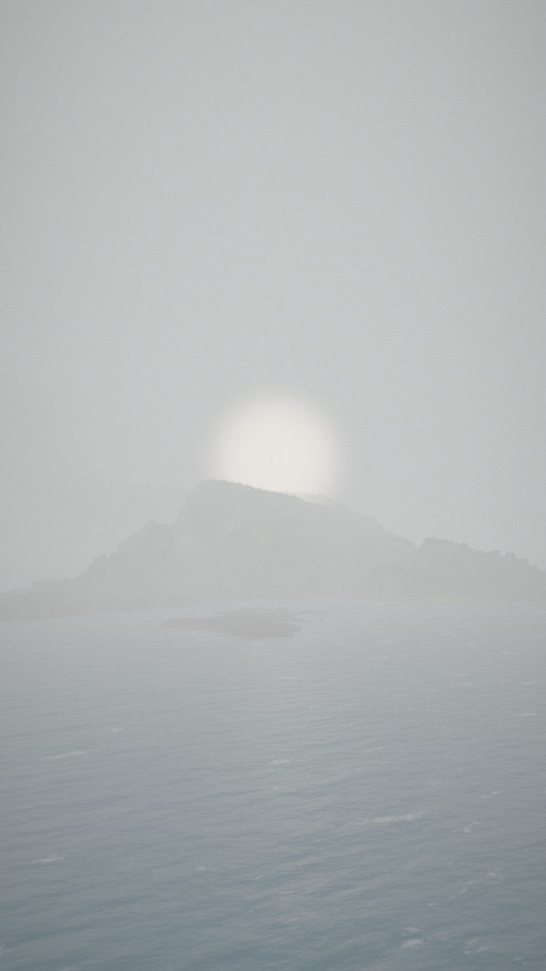
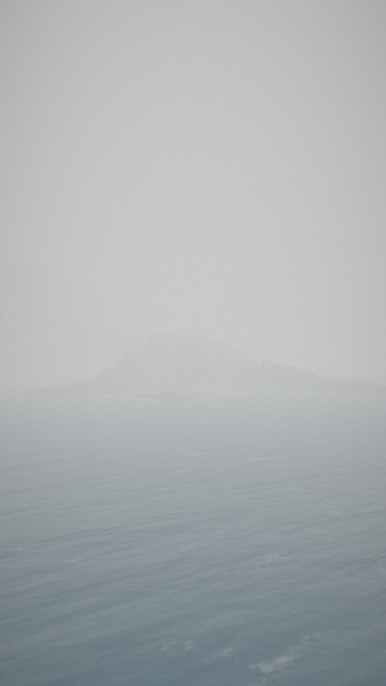
A 3D view of Cape d'Or in thick grey fog: the cliffs are a faint shape and the sea a flat grey.
Fog over the cape, the weather the whistle was for. Joel Hirtle's 3D model, not a photograph.
A 3D view of Cape d'Or in fog with a soft round glow of light above the cliffs.
The first light, 1922, shown as a glow: no picture of the Eatonville tower at the cape cleared for use was found. 3D model.

↑ BACK TO TOP

06THE STATION'S LIFE

From a steam whistle
to a restaurant, 1836 to 2026.

Every moment, with the kind of record behind it
YearWhat happenedRecord
1836The Dory Rips, already well known. Abraham Gesner, finishing a book on the province's rocks at Parrsboro, about 37 km (23 miles) up the shore, calls the whirlpools 'well known'. He blames a submarine cape of sunken rock pillars, and says the French named the cape for copper they mistook for gold.A RECORD OF ITS TIMEGESNER 1836
1874-75A steam fog whistle. A steam whistle is put up on the cape: in fog or snow, a 6-second blast twice a minute. Notices date it from 2 January 1875; a later history says it ran unannounced from December 1874.A RECORD OF ITS TIMENAUTICAL MAG. 1875LONDON GAZETTE 1875LIGHTHOUSEFRIENDS
1875Coal up the bank. The station cost about $8,440. Coal for the boiler came up a tramway from a rock on the beach, 75 ft (23 m) up the bank.A LATER HISTORY ONE SOURCELIGHTHOUSEFRIENDS
1877A storm. A storm sweeps away the coal tramway and the station boat. A road to Horseshoe Cove is built.A LATER HISTORY ONE SOURCELIGHTHOUSEFRIENDS
1885The pilot book. The Admiralty's sailing directions describe the rip, the eddy and the 5 to 6 knot streams, and tell ships to keep well off on the flood.A RECORD OF ITS TIMEADMIRALTY 1885
1922The first light. 47 years after the whistle, the cape gets a light: the old tower from Eatonville, about 14 km (9 miles) up the shore, moved here as a fifth-order light.A RECORD OF ITS TIMEMARINE REPORT 1922-23LIGHTHOUSE DIGEST
1924-25The whistle replaced. The steam whistle plant is replaced by a diaphone, a fog horn driven by compressed air.A RECORD OF ITS TIME ONE SOURCEMARINE REPORT 1924-25
1959Two keepers' houses. The two keepers' dwellings above the station are completed.A LATER HISTORY ONE SOURCELIGHTHOUSEFRIENDS
1965Today's lighthouse. A one-storey fog signal building is built with the light tower rising from one corner. The 1922 tower is later demolished.A LATER HISTORYLIGHTHOUSEFRIENDSLIGHTHOUSE DIGEST
1989Automated. The light is automated. The keepers leave, and the houses stand empty.A LATER HISTORYLIGHTHOUSEFRIENDSLIGHTHOUSE DIGEST
1995A tearoom and hostel. The Advocate District Development Association leases the houses and opens a tearoom and hostel.A LATER HISTORY ONE SOURCELIGHTHOUSEFRIENDS
2000The Lighthouse on Cape d'Or. Darcy Snell takes over the site. He and his wife, Jenna Boon, open a restaurant in one house and a guesthouse in the other.A LATER HISTORYLIGHTHOUSEFRIENDSCANADA EXPLORE 2010
2017The horn to go. The Coast Guard gives notice that it proposes to discontinue the fog horn. The light and the building stay.A RECORD OF ITS TIMENOTICES TO MARINERS 2017
2021Still in the sailing directions. Canada's sailing directions still warn of a heavy tide rip close south of the cape on the flood.A RECORD OF ITS TIMECHS ATL 106 (2021)
2026The light today. The Coast Guard's list: a long white flash every 6 seconds (2 seconds on, 4 off), its focal height 20.3 m (67 ft), its nominal range 8 nautical miles (15 km). No fog signal is listed.A RECORD OF ITS TIMELIST OF LIGHTS 2026
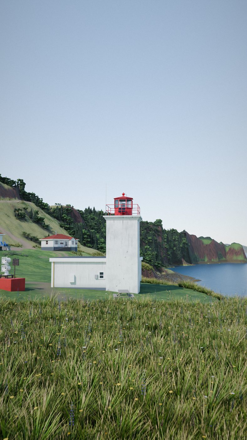
A 3D view of today's light station: a white one-storey building with a square white tower and a red lantern at one corner, on grass above the sea, with two red-roofed houses behind.
The station of 1965: the fog signal building with the light on one corner. Joel Hirtle's 3D model, from lidar and photographs.

↑ BACK TO TOP

07THE LIGHT TODAY

A long white flash,
every 6 seconds.

The light stands on the extreme point of the cape, at 45° 17′ 27″ N, 64° 46′ 27.5″ W by the Coast Guard's list of 2026. It shows a long white flash every 6 seconds: 2 seconds on, 4 off. It works all year, day and night.

The keepers' houses of 1959 stood empty after the light was automated in 1989. In 1995 they became a tearoom and hostel, and since 2000 they have been The Lighthouse on Cape d'Or: a restaurant in one house and a guesthouse in the other, run by Darcy Snell and Jenna Boon. It is a seasonal business; check its season before you visit.

The Coast Guard's List of Lights (2026), no. 167; Lighthousefriends; Darcy Snell in a Canada Explore video (2010). The Coast Guard owns and runs the light.

Cape d'Or light, 2026
CharacterLFl W 6 s: a long white flash every 6 seconds
Flash2 seconds on, 4 seconds off
Focal height20.3 m (67 ft)
Nominal range8 nautical miles (15 km)
StructureA white square tower with a red top, joined to a white building, 10.7 m (35 ft)
Fog signalNone listed
SeasonAll year
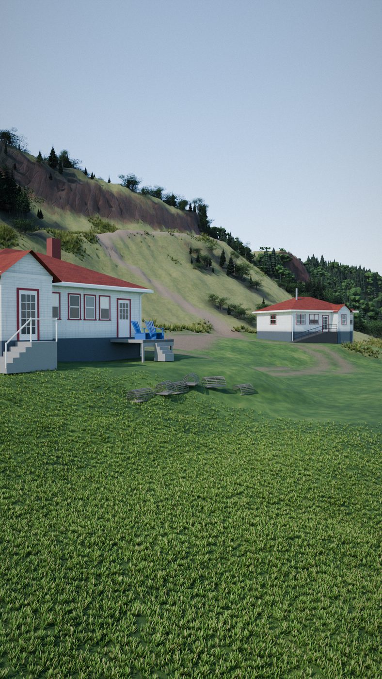
A 3D view of the two keepers' houses, white with red roofs, on the green slope above the light station.
The keepers' houses of 1959. Joel Hirtle's 3D model.

↑ BACK TO TOP

08ACROSS THE WATER

Black Rock: 13 km across,
307 km by road.

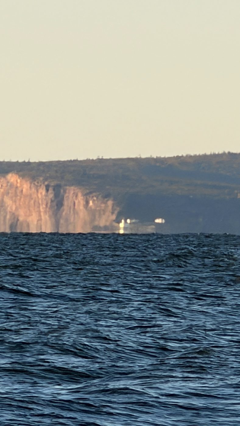
On a clear day the cape is in plain sight from Black Rock, in Kings County, on the south shore of Minas Channel: about 13.5 km (8.4 miles) across the water from the light. By road it is 307 km (191 miles), about 3 hours 53 minutes, all the way round the Minas Basin.

Over that distance the Earth's curve shows. Looking from sea level at Black Rock, the sea at the cape lies about 14 m (46 ft) below a level line, or about 12 m (40 ft) once the usual bending of light in the air is allowed for.

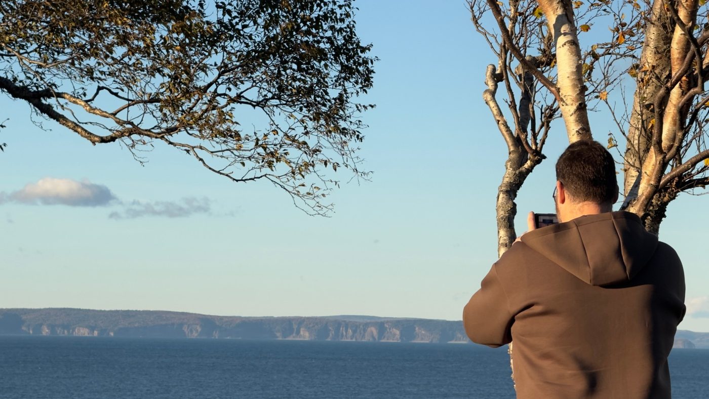
Joel Hirtle's photograph and the reel's closing film were made from Black Rock Road.

The distance is worked out from the province's name point for Black Rock and the light's listed position; the road distance is Joel's own route. The curve: d²/2R on a sphere of 6,371 km, and 0.87 of that with the standard allowance for refraction (k = 0.13).

A man in a brown hooded jacket, seen from behind under a tree, films the far shore of Minas Channel with a phone; Cape d'Or is a long line of cliffs across the water.
Joel Hirtle filming Cape d'Or from Black Rock Road.
Cape d'Or seen across choppy water from the far shore of Minas Channel: red cliffs, the white light station on the point, the hills behind.
Cape d'Or from Black Rock Road, 13 km across Minas Channel. Photograph: Joel Hirtle.

↑ BACK TO TOP

09 · THE FILM · 2 MINUTES 9 SECONDS, NARRATEDTHE LIGHTHOUSE ABOVE THE DORY RIPS

Why is the sea so rough
off Cape d'Or?

The film tells the same story: Joel's photograph from Black Rock, a 3D flight past the light down to the rip, the pilot book of 1885, the satellite frame of 15 August 2026, the sea floor, Gesner, the whistle, the light and the keepers' houses.

Research, 3D model and animation by Joel Hirtle: more than 100 hours of 3D rendering on one home computer. Narration: a text-to-speech voice reading Joel's script. Opening photograph and closing film by Joel from Black Rock Road. The arrows follow the 1885 pilot book and are schematic.

The film will open on Instagram in a new tab. Nothing loads from Instagram until you choose to watch it.

↑ BACK TO TOP

10WHAT IS NOT KNOWN

Where the record
runs out.

↑ BACK TO TOP

11READING THIS PAGE

The pilots' words,
on today's sea floor.

The map shows one tide on one day: 15 August 2026, the day a satellite caught the rip. The water level is the Canadian Hydrographic Service's prediction; between its high and low waters the page draws a smooth curve. The arrows are the pilot books' words drawn on the map, as Joel approved them for the reel. They show where the water goes, not how fast. Their timing is representative: no source gives the times the streams turn at the cape.

The record beside the map keeps apart three kinds of moment: a time the Canadian Hydrographic Service predicted (a solid amber dot), what the satellite saw (a half dot), and the pilots' words, placed in the part of the tide they describe (a hollow dot). The pilot books of 1885, 1918 and 2021 are one account, so a moment that rests on them says "one lineage".

The sea floor is the Canadian Hydrographic Service's NONNA survey grid, the shore Statistics Canada's, the place names the province's, and the light's position the Coast Guard's. The 3D pictures are Joel Hirtle's model of the cape, built from lidar and photographs: a model, not photographs. Units: the record's own first, the other in brackets.

Read the data method ↗

↑ BACK TO TOP